Yesterday I wrote a post about the potential for snow, wind, and cold. The snow part of the equation was just for the East Tennessee mountains, however there is a possibility for some snow showers in the eastern portions of middle Tennessee with the best chances on the Plateau. Those towns would include Monterey, Crossville, Jamestown, Clarkrange, Crab Orchard, Deer Lodge, Banner Elk, Allardt, and Rugby.
I don't think we'll see any accumulations in those areas but an October snow is a rarity indeed. This weather situation is from the powerful storm in the northeast names Hurricane Sandy.
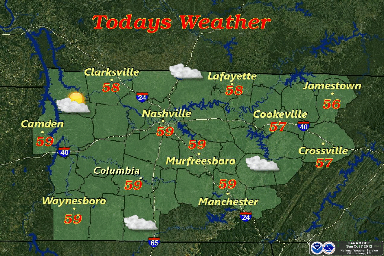
*Latest Local Forecast*
I don't think we'll see any accumulations in those areas but an October snow is a rarity indeed. This weather situation is from the powerful storm in the northeast names Hurricane Sandy.
*Latest Local Forecast*
Interact with me on social media:
Weather Guy on Facebook
Weather Guy on Twitter
Cookeville Weather Alerts on Twitter